
Lancaster Neighbors by Block Source
Immediate neighbors are best understood as a set of nearby parcels and public records, not as one universal list. Los Angeles County’s Assessor Portal supplies the online map starting point. City departments hold project records. The elections office has a restricted street-index product. Historic census and reverse-directory material belongs with library or archive custodians. The table separates the question each source can answer from the access route that applies.
| Source | What It Shows About a Block | Access |
|---|---|---|
| Assessor Map Search | Parcel geometry, situs, AIN, map position, and public property characteristics | Free Los Angeles County web map |
| Assessment roll channel | Owner or mailing information where legally public, tied to a parcel | Assessor counter, office channel, or defined request; web display can be limited |
| City permits and planning | Project address, applicants, contractors, dates, and construction activity | Lancaster Development Services or narrow records request |
| Voter status verification | One matching registration for a person who supplies the required identity and address fields | Free self-check; no public street browse |
| Purchased Street Index | Registration entries by street under the permitted election product | Paid contract and qualifying political purpose only |
| Federal census | Historical households and nearby enumeration order | Public through 1950 through libraries and genealogy collections |
| City neighborhood gateway | Public community information, service areas, or contact paths | Voluntary public information; no member roster presumed |
| Historical reverse directory | Past address-to-occupant entries if a verified local volume has a street section | Ask Lancaster Library or Norwalk Californiana staff |
Ownership is not occupancy. An assessment record can connect a person or mailing destination to a parcel without showing every person who lives there. An apartment parcel can represent one owner while containing many private households. A city permit names an applicant or contractor, not every neighbor. That distinction keeps a block lookup useful for civic curiosity, property history, and personal safety awareness without turning a public record into a household claim.
Map Lancaster Neighbors From One Address
The adjacent-parcel method begins with a defined radius. “Neighbor” can mean a shared boundary, the parcel across the street, or a larger walkable area. Choose the meaning before collecting names. Enter the target address in the Los Angeles County Assessor Portal, switch to Map Search, and zoom until parcel outlines are clear. The map is a spatial tool. It is not, by itself, an owner-name directory.
Address → Assessor parcel → AIN and situs → adjacent polygons → lawful roll check → dated block notes
- Locate the target address and save the AIN, situs, legal description, map position, and effective date shown for the parcel.
- Click every parcel that shares a boundary, then inspect the parcels directly across the street when they fit the chosen radius.
- Log each AIN and situs before moving to an assessment-roll channel. Keep owner evidence separate from any assumption about household occupancy.
- Check city permits, planning files, or a narrow California Public Records Act request for a project address when construction history matters.
- Stop at the block boundary. A full named-street chain is a different task, covered by the Lancaster by-street records workflow.
The map’s selection, measurement, print, and layer labels can change with portal releases. Capture what the live map shows at the time of research, and do not claim a buffer or export feature unless it is visible in the current interface.
Lancaster Neighbors and Parcel Limits
Parcel geography is precise about land and cautious about people. Situs is the physical parcel address. A mailing address is where tax or assessment correspondence goes and may be a PO box, management office, or different place. The AIN is the county assessment key. None of those fields proves who sleeps at the property or whether a recorded owner is the person next door.
- Shared boundary
- A parcel line that touches the target parcel. It defines a land relationship, not a social relationship.
- Across the street
- A practical block choice that needs a stated radius because the map does not decide how far “neighbor” extends.
- Owner record
- A recorded or assessment-linked interest in land. It may be an absentee owner, a trust, or a mailing destination away from Lancaster.
- Household evidence
- A dated census, directory, or other record that places people at an address for a defined period. It is not supplied by every parcel map.
- Legal description
- The tract, lot, block, map, or similar land identity that helps bridge street-name changes and rural descriptions.
These terms matter around Lancaster’s broad Antelope Valley geography. A parcel can sit outside the incorporated city while using a Lancaster postal label. A public map can place it beside another parcel without answering which city department keeps the related permit or code file.
Lancaster Block Change and Nearby Neighbors
Permits and planning files give a block a time line. Lancaster Development Services joins planning, building and safety, and related land-use functions. An address-keyed file may show an applicant, contractor, architect, owner listed on an application, project scope, issue date, final date, valuation, or parcel and project number. It can explain when a new structure, addition, remodel, or demolition appeared beside a target parcel. It cannot prove that the applicant was a resident or identify every household using the building.
The online start date for local permits was not verified. When a public portal does not show the needed record, ask the department that keeps the file or use the city’s public-records request route. State the address, known permit or project number, record type, and date range. Code cases can contain complainant information or protected material that must be redacted. A narrow request is more useful than asking the city to assemble a block roster.
The county public-records request route illustrates how a custodian routes a defined request and why the department matters.
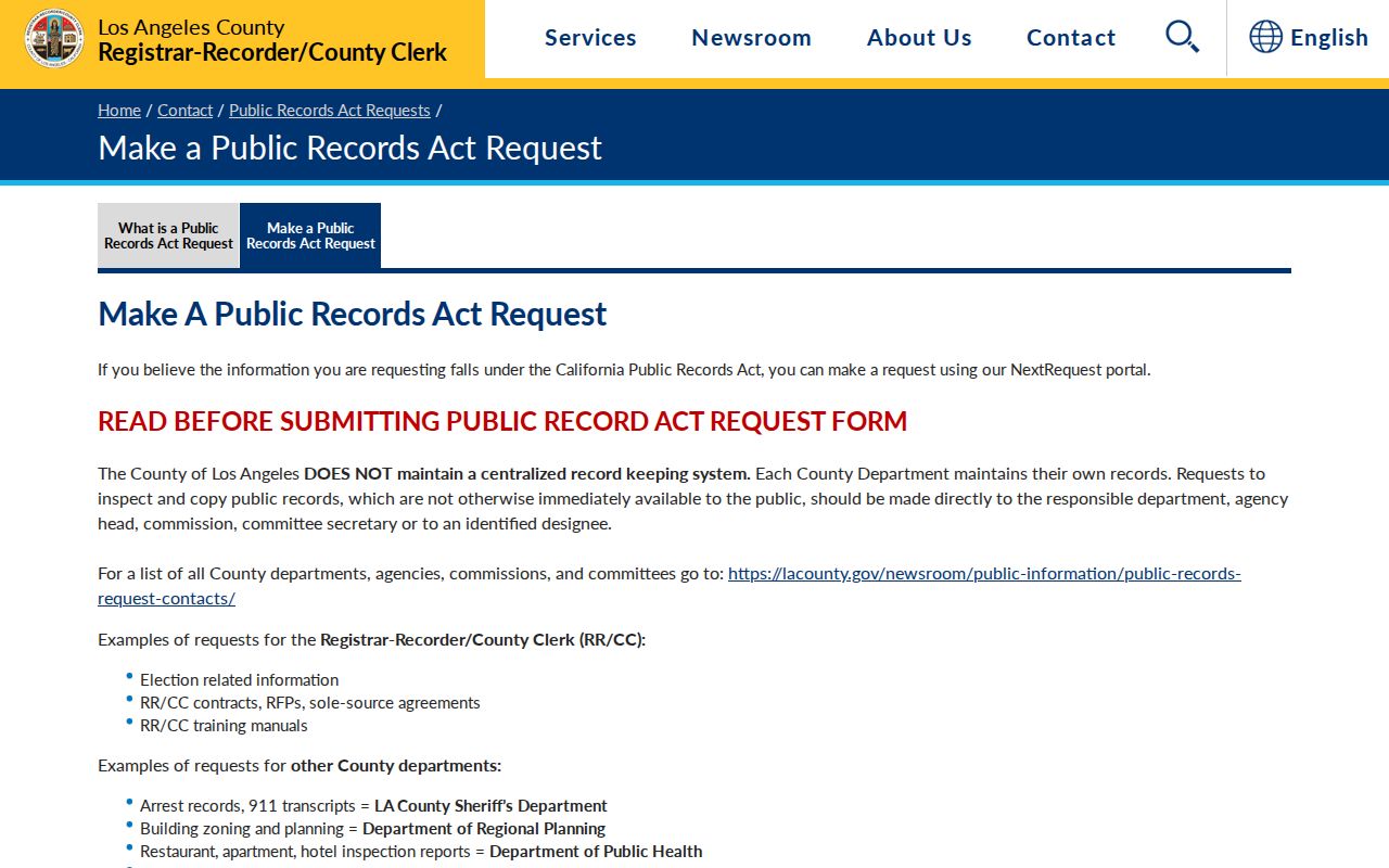
The request route supports a block-history task when the desired record already exists, while keeping the permit applicant distinct from the people who may use the parcel.
Lancaster CPRA Requests for Block Records
California’s Public Records Act, Government Code sections 7920.000 and following, applies to reasonably described existing records. An agency normally determines whether responsive records exist within 10 days and can extend by up to 14 days for defined unusual circumstances. Inspection is generally free. Copy charges are limited to direct duplication cost unless another statute applies, and specified electronic extraction or programming may have a charge. The law does not require a department to create a new list from assessor, permit, voter, and tax systems.
Los Angeles County has no one central records system. Route a parcel, permit, planning, elections, or recorder question to the department that actually holds it. The California Public Records Act text should be checked for the current statutory language, while an agency contact page supplies the practical intake path. Describe one address or AIN, a narrow date range, the record class, and the preferred inspection or copy format.
The statutory text is the durable reference for a block request, not a promise that private household data will be released.
Privacy exemptions, redaction, and the custodian’s actual files control the result. A request can seek an existing permit or planning record, but it cannot turn CPRA into a public list of Lancaster neighbors.
Lancaster Voter Data and Neighbors
Voter information has the narrowest block route in the local record set. The Los Angeles County verification page is designed for a person checking a matching registration. It requires last name, full birthdate, residence house number, and ZIP code. It does not accept a street name or offer a browse mode. The page lists (800) 815-2666, option 2, for help. A match is not proof that a person still occupies a parcel.
| Last Name | Required alphabetic text |
|---|---|
| Birthdate | Required date in MM/DD/YYYY format |
| House Number | Required numeric residence field |
| Zip Code | Required five-digit field |
| Street name or browse | Not accepted by the self-verification page |
The county sells election products under contract. A Street Index can be purchased only with the required agreement and permissible election, political, scholarly, journalistic, or governmental purpose. The research lists a countywide file at $146, precinct, district, or city information at $54, an additional file at $39, and Street Index pricing by name or page plus handling. The election product and fee route points to mail or in-person requests at Election Information, 2nd Floor Room 2013, 12400 Imperial Highway, Norwalk. Phone (800) 815-2666, option 4, handles that product route.
California Elections Code sections 2188 and 2194 restrict disclosure and use. Home address, phone, email, signature, driver-license or ID details, Social Security information, and protected voter data are not open as a casual block directory. Election status changes through list maintenance and should never be treated as current occupancy evidence.
Lancaster Neighborhood Gateways
Community information can add a human layer to Lancaster neighbors without exposing a private roster. The research found a city neighborhoods gateway but not an official comprehensive directory of associations, HOA members, congregations, or block-watch participants. Public officer names, service contacts, meeting details, and boundaries can be used when the responsible organization publishes them. Membership and household lists should not be presumed public.
| Public gateway | Useful contact or context | Limit |
|---|---|---|
| City of Lancaster neighborhoods | Official community-information starting point | Does not establish a comprehensive member or HOA roster |
| Lancaster public safety | Public report and contact routes | Not a current-neighbor directory; incident access has its own rules |
| Lancaster Library | Local history help and in-building Antelope Valley Press access | Historic and licensed resources, not a private household roster |
| Antelope Valley local history | Public chronology, images, landmarks, and community context | Historical context does not identify present neighbors |
Use the city page as a gateway and verify any named organization at its own public contact route. No verified official source supplied a full Lancaster neighborhood-association list with boundaries and public member access, so no names or rosters are invented here.
Official Lancaster Neighbor Records Versus Commercial Tools
Commercial neighbor tools can be convenient, but they compile public and purchased data rather than serving as a Lancaster custodian. They may be stale, merge people with similar names, repeat a mailing address, or omit protected records. Official sources are narrower and slower, yet their field, date, access rule, and correction path are visible. The comparison below keeps the categories separate without recommending a private service by name.
| Category | Strength | Limit and access |
|---|---|---|
| Assessor map and roll | Parcel geometry, AIN, situs, and possible recorded ownership | Owner is not a household roster; web and roll access differ |
| City permits or CPRA | Address-based project dates and filed participants | Existing records only; redactions and department routing apply |
| Election products | Structured registration entries when purpose and contract qualify | Paid, restricted, and not a casual neighbor browse |
| Commercial compilation category | May combine many public-address clues in one view | Accuracy, freshness, lawful use, and suppression depend on the provider |
The State Controller’s unclaimed-property search is another official name search, but it is only a lead. A reported address or city can suggest a past affiliation or an old connection. It does not identify current neighbors, establish parcel adjacency, or prove that a person lives in Lancaster.
The official unclaimed-property search shows why an address clue must remain tied to its source and purpose.
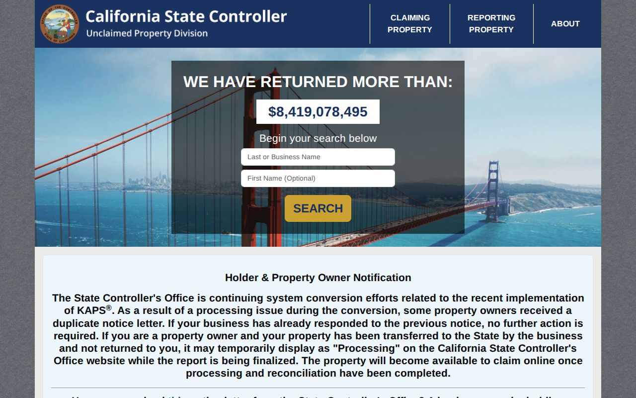
Keep that result in a lead column, then confirm any relevant fact through the parcel, court, business, or other custodian that created it.
Historical Lancaster Neighbors in Census Records
The federal census can reconstruct a Lancaster block when current neighbor evidence is not the goal. Public census schedules reach through 1950. Enumeration order may place nearby households together even when the early address text is incomplete. California census schedules from 1850 to 1910 are described in the closed-stack Californiana Collection, and Lancaster Library’s local-history resources can add press and community context. The Los Angeles Superior Court gateway is a separate route for probate or other court records, not a census substitute. These sources are useful for family history and neighborhood change, not for a current resident list.
Start with a known surname, household member, or historical landmark. Copy the enumeration district, page, dwelling number, family number, ages, birthplace, and occupation as printed. Then compare a nearby directory, newspaper item, deed, or permit. Early rural records may use township, range, route, or “near Lancaster” rather than a modern street number. A census household is a dated snapshot, and an enumeration neighbor is not necessarily a shared parcel boundary.
The city’s railroad, drought, aqueduct, and aerospace eras also change which source is likely to help. Deeds and newspapers are important around the 1876 railroad line and 1884 town layout. Aqueduct work from 1908 to 1913 and aerospace growth after the 1930s may surface in press, school, institutional, or archival records. Treat each era as context for the source search, not as proof of a particular household.
Protecting Lancaster Neighbors and Addresses
Some Lancaster neighbors will not appear in an address search by design. California Safe at Home gives qualifying survivors and other protected participants a substitute mailing address and confidentiality tools. The California Consumer Privacy Act and DROP concern covered business data and broker deletion requests, not the erasure of a valid deed, assessment, court, or other legally retained public record. Voter identifiers and protected registration details have separate limits. DMV data is controlled by federal and state privacy law.
The California DOJ Safe at Home and privacy summary explains the protected-address route. Never try to defeat a substitute address or identify a protected participant through parcel, voter, delivery, utility, or social clues. Private community rosters, household composition, children’s information, and utility customer data are not ordinary public block records.
The privacy program’s public explanation is a useful guardrail for Lancaster neighbors research.
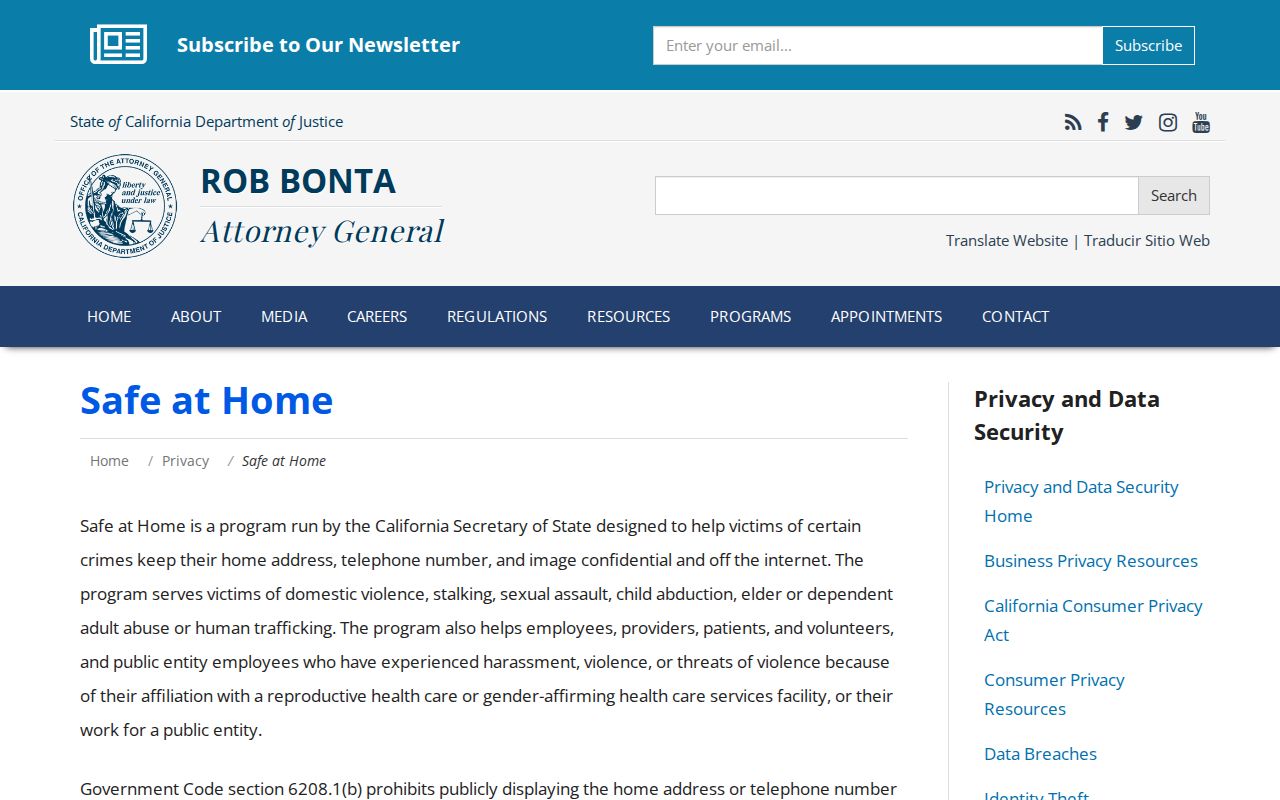
The lawful route is to use the smallest record set needed for personal, civic, historical, or safety research, keep dates and sources attached, and stop when the record is protected or private.
Lawful use. Lancaster neighbor research is for understanding a block, reconnecting, family history, and personal safety awareness. Do not use parcel or public-record clues to stalk, harass, intimidate, or threaten anyone.