
Lancaster Street Directory Walkthrough
A useful Lancaster street directory is a chain of address clues. Begin with the physical location, preserve the county parcel key, and then move to records that use a person or document name. This order matters because the Los Angeles County recorder does not accept a street address or APN as a public index search. The assessor map is the bridge between a road label and the named records held elsewhere.
- Normalize the address. Enter the street address in the Los Angeles County Assessor Portal. Save the suggested match, AIN, situs address, legal description, and parcel map link. If the address is historic, also note the tract, lot, block, or rural description.
- Walk the parcel map. Open Map Search and select the target polygon. Pan to each adjoining parcel and the parcels across the road. Record each AIN and situs separately; one apartment parcel is not a list of its unit occupants.
- Choose the right owner channel. The web portal searches by AIN or address, not by an open public owner-name field. If owner or mailing information is not displayed, ask the Assessor office about the public assessment-roll channel or a precise roll-year request. Do not infer a resident from a tax field.
- Crosswalk to the deed index. Use a legally available owner name and likely recording year at the Registrar-Recorder/County Clerk in Norwalk. Search that name as grantee, read the legal description, and compare it with the parcel before following an earlier grantor.
- Add household context with care. A known voter can use the county verification form, while a qualifying political requester can ask about the purchased Street Index. A library reverse directory, newspaper notice, or census entry can add historical context when its coverage is verified.
Turn a Lancaster Address Into an AIN
The Assessor Portal is the strongest online first step in a Lancaster street directory because it accepts a standardized street address or a ten-digit Assessor Identification Number. Basic Search handles a direct match. Legal Search provides a route through a land description. Map Search is useful when an old address, a corner parcel, or a neighbor is easier to identify visually than by text.
| Portal control | Type | Required | Format or use |
|---|---|---|---|
| Search by AIN or Address | Autocomplete text | Yes | Ten-digit AIN or standardized street address |
| Basic Search | Tab | No | Combined direct search for a parcel |
| Legal Search | Form or tab | No | Legal-description route; live subfields can change |
| Map Search | Map mode | No | Pan, zoom, and select a parcel polygon |
| Search | Button or autocomplete | Yes | Select the suggested address or AIN match |
A parcel detail may show the AIN, situs, legal description, use type, year built, square footage, assessed land and improvement values, tax-rate area, map links, and roll dates. Online ownership and mailing fields can be limited. The Los Angeles County Treasurer and Tax Collector is a separate channel for tax bills, payments, and delinquency information keyed to an AIN; tax status does not become a resident list. For corrections or fields absent from the web result, use the Assessor office contact route by phone or in person and describe the AIN, roll year, and exact field requested.
Note: An AIN holds the parcel trail together, but online owner and mailing fields may remain limited for a particular result.
Record terms.
- AIN
- The county's ten-digit parcel key, used to keep a land record tied to the same property when street wording changes.
- Situs address
- The physical location of the parcel. It is not automatically the owner's mailing address or a list of people who live there.
- Legal description
- The tract, lot, block, or other land description used to match a deed to the parcel.
- Plat
- A recorded subdivision map that helps connect lots, blocks, roads, and legal descriptions.
Browse Lancaster Parcels on the Map
The map view gives the Lancaster street directory its geographic frame. Search one known address, zoom until parcel lines are clear, and select the polygons that share a boundary or sit across the street. Keep a separate note for every AIN and situs. Map layers, selection tools, and print controls can change with portal releases, so treat the current screen as a research aid rather than a permanent catalog.
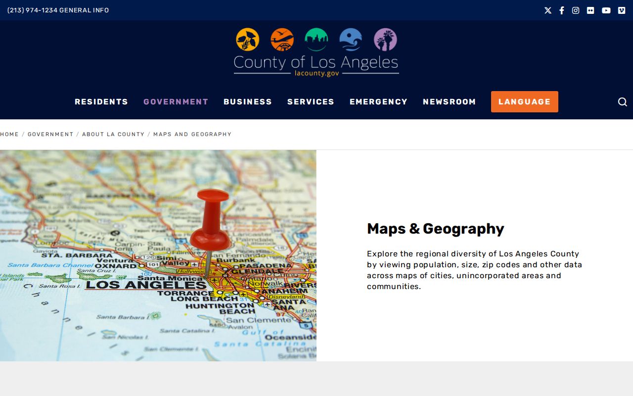
The Los Angeles County maps and geography gateway is also useful for checking the city, county, and rural setting around a parcel. It helps explain why a broad Lancaster mailing label can cover land outside the incorporated city. A map can show adjacency and parcel shape. It cannot, by itself, name every owner or tell who occupies a structure.
The county's public maps page provides the boundary context behind the parcel view.
The image shows why a Lancaster address search works best when a road name is paired with a parcel map and a legal description.
Note: Parcel adjacency can show a shared boundary without proving a shared household or personal relationship.
Lancaster Street Records by Address
Several record sets can be walked address by address, but none is a complete household roll. The current property trail begins with the Assessor Portal. The recorder trail begins only after a name and year are known. City permits describe work at a site. Census schedules place households in an older enumeration order. A street directory becomes reliable when these limits stay visible.
| Record set | Keeper | Street use | Access and limit |
|---|---|---|---|
| Property assessment | LA County Assessor | AIN, situs, land and building characteristics | Free address/AIN web search; owner display may be limited |
| Parcel map | Assessor Portal | Adjacent polygons and parcel links | Free map mode; not a household roster |
| Deeds and liens | RR/CC Recorder | Recorded parties and ownership chain | Norwalk name/year index; no address/APN search |
| Voter information | RR/CC Elections | Known self-verification or permitted Street Index use | Four matching fields or qualifying political purpose |
| Permits and planning | Lancaster Development Services | Applicants, contractors, project dates, parcel numbers | Address or project request; not proof of occupancy |
| Census schedules | Federal archives and libraries | Historical households and enumeration order | Public through 1950; older rural addresses can be broad |
The parcel key is the best bridge from the modern map to the deed chain. The street name is useful for permits and election products, but a street label alone cannot resolve an apartment household, a rural route, or an address that changed names. Keep the source date beside every result because an assessment snapshot, voter status, and recorded instrument answer different time questions.
Crosswalk Lancaster Streets Into Deeds
Los Angeles County's recorder index is the defining constraint for a Lancaster street directory. There is no public Internet index and no recorder search by address or APN. The public name-and-year indexes are reviewed by appointment in Norwalk, with 1851-1957 material on the lower level and 1958-present material on the second floor. Appointments can be booked up to two weeks ahead. The phone line answers real-estate-record questions, but staff do not perform an index search over the phone.
For an in-person visit, carry the owner or recorded-party name, likely year, document type, and parcel legal description. For mail, provide the document title, all names on it, and a recording year or every year to search. The official RR/CC viewing instructions explain the offline index, while the mail request route gives the written fallback.
In person
12400 Imperial Highway, Norwalk. Use the lower level for 1851-1957 and the second floor for 1958-present. Viewing is free after the appointment.
By mail
Mail RR/CC Real Estate Records, P.O. Box 1130, Norwalk, CA 90651-1130. Processing is stated as within 20 working days.
By phone
Call (800) 201-8999, option 3, for questions about the real-estate record process. The line does not search by address.
Mail searches cost $0.50 per name per year, with a $1 minimum. A plain copy is $5 for the first page and $3 for each added page; a certified copy is $6 for the first page and $3 for each added page. Expedited mail or UPS is $18.50, and credit-card handling is $1.75. The current RR/CC fee schedule should be checked before payment. These fees identify or copy a record. A deed proves what was recorded, not who occupies the property today.
Lancaster Permits Date Work, Not Occupants
Lancaster Development Services joins planning, building, and safety functions. Address-keyed permit and planning files may identify an applicant, contractor, architect, owner shown on an application, valuation or scope, issue and final dates, and a parcel or project number. Code cases can contain owner communications and inspection history, but complainant information and protected personal material may be redacted.
The correct city-records request names a department, record type, approximate dates, and address, project, or case number. The Lancaster City Clerk public-records route is for city-created material, not county deeds, assessment rolls, voter data, court cases, or vital certificates. A permit can show when an addition was proposed or completed. It cannot prove that the named applicant lived there. The useful chain is address to permit to date and applicant, then parcel to recorded deed for ownership context.
Note: A narrow request for an existing permit file is more useful than asking a city department to create a new list about a person.
Tenth Street Became Lancaster Boulevard
Lancaster has a verified historic-address trap. The Lancaster Library history places its October 1912 start at Antelope Valley Union High School on Tenth Street and Cedar Avenue. That Tenth Street location is now associated with Lancaster Boulevard. A search that copies an old address word for word can miss the same place under its later road name.
Use legal descriptions, subdivision maps, railroad landmarks, and parcel geography to bridge the change. Lancaster's records also cross a wider time line: the Southern Pacific line reached the valley in 1876, the town was mapped and promoted in 1884, incorporation came in 1977, and early county records may describe a township, range, tract, or “near Lancaster” location. A street directory that preserves both the old wording and the modern parcel key is easier to audit.
Lancaster Voter Index Access
The Los Angeles County voter verification tool is not a public Lancaster street directory. It asks the person checking a registration to supply a last name, full birthdate, residence house number, and five-digit ZIP code. It does not accept a street name for browsing. A match confirms registration status for the submitted combination, not ballot choices, a household roster, or present physical occupancy.
- Last Name, entered as alphabetic text.
- Birthdate, entered as a full date.
- House Number, entered as numbers only.
- Zip Code, entered as five digits.
Call (800) 815-2666, option 2, for help with the self-check. The county also sells election files and a Street Index under a contract, but the research states that the Street Index route is for candidates, committees, or the general public with a declared political purpose. A qualifying purchaser uses the Norwalk Election Information office, mail or in-person submission, a purpose declaration, agreement to statutory limits, and payment. Casual neighbor browsing is not the use described by the county.
Note: Voter status is a time-bound election record, not independent proof that every person at an address is a current resident.
Criss-Cross Directories Along Lancaster
A criss-cross or reverse directory works from an address toward an occupant name, which makes it a valuable historical layer in a street directory. Lancaster's exact reverse-directory titles, years, publishers, and digitized runs are not published in the official research. Do not state a local run until Lancaster Library reference staff or the Californiana staff at Norwalk confirms a title page and holdings statement.
Ask whether a volume covers Lancaster, Antelope Valley, Palmdale-Lancaster, a telephone district, or a street guide. Request the abbreviation key and the street-section or householder index. A verified volume can be paired with a federal census household through 1950, local newspaper notices, and recorded deeds. The historical collection itself is handled on the Lancaster city directory collections page; the street question is whether a particular edition actually supports address-to-name work. When an old owner name or year is unclear, the California State Archives catalog and the FamilySearch catalog can help identify a lead, while RR/CC remains the authoritative copy custodian.
Criss-cross directory. An address-organized directory that may point to a householder or business in a publication year. It does not automatically identify every occupant, renter, child, or visitor.
Limits of a Lancaster Street Directory
Property records describe land. A recorded deed names parties to an instrument. A permit names people connected with a project. Census schedules describe an earlier enumeration. None of those records is a current list of everyone who sleeps at an address. The county voter page is a self-verification tool, and DMV address data is restricted by the federal Driver's Privacy Protection Act. Utility customer lists and private household rosters are not public street records.
California's Safe at Home program supplies qualifying survivors and protected workers with a substitute mailing address and confidentiality protections. Voter identifiers, signatures, and protected registration data also have release limits. If a parcel result or deed record is wrong, use the correction or access process of the Assessor, RR/CC, city department, or other custodian that created it. A directory summary cannot change an official record.
Lawful personal use. Lancaster address records can support family history, property research, civic questions, and other lawful personal purposes. Never use a street directory to stalk, harass, intimidate, or expose a protected person.