
Lancaster ZIP Code Coverage by Area
The principal Lancaster ZIP code pattern has three standard-delivery areas and one PO-box-only service. A ZIP is a postal routing label, not a city boundary. The rows below describe the broad geography reported in local research; USPS remains the authority for a specific deliverable address and current post-office result.
| ZIP Code | Areas Covered | Post Office | Notes |
|---|---|---|---|
| 93534 | Central and west-central Lancaster, including the older downtown and Old Town vicinity | Verify current station with USPS | Standard delivery; local planning or neighborhood lines may differ |
| 93535 | East and southeast Lancaster | Verify current station with USPS | Some delivery territory is outside incorporated parcels |
| 93536 | West and northwest Lancaster plus a broad west Antelope Valley delivery area | Verify current station with USPS | Large rural and unincorporated territory can share the label |
| 93539 | Lancaster postal boxes | USPS PO-box service | PO-box-only; it is not a residential street area |
Regional lists can create false Lancaster matches. ZIP 93551 is primarily Palmdale. ZIPs 93543 and 93544 cover Littlerock and Pearblossom areas. None should be labeled Lancaster for a record search without a specific USPS result. A city name printed in a mailing line can also serve an unincorporated county address. The safe habit is to preserve the full standardized address, not just the five-digit ZIP code.
The USPS city and state ZIP lookup is the right starting source for the current Lancaster result set. Its city/state answer can be paired with an exact-address lookup when a parcel, permit, or person record matters.
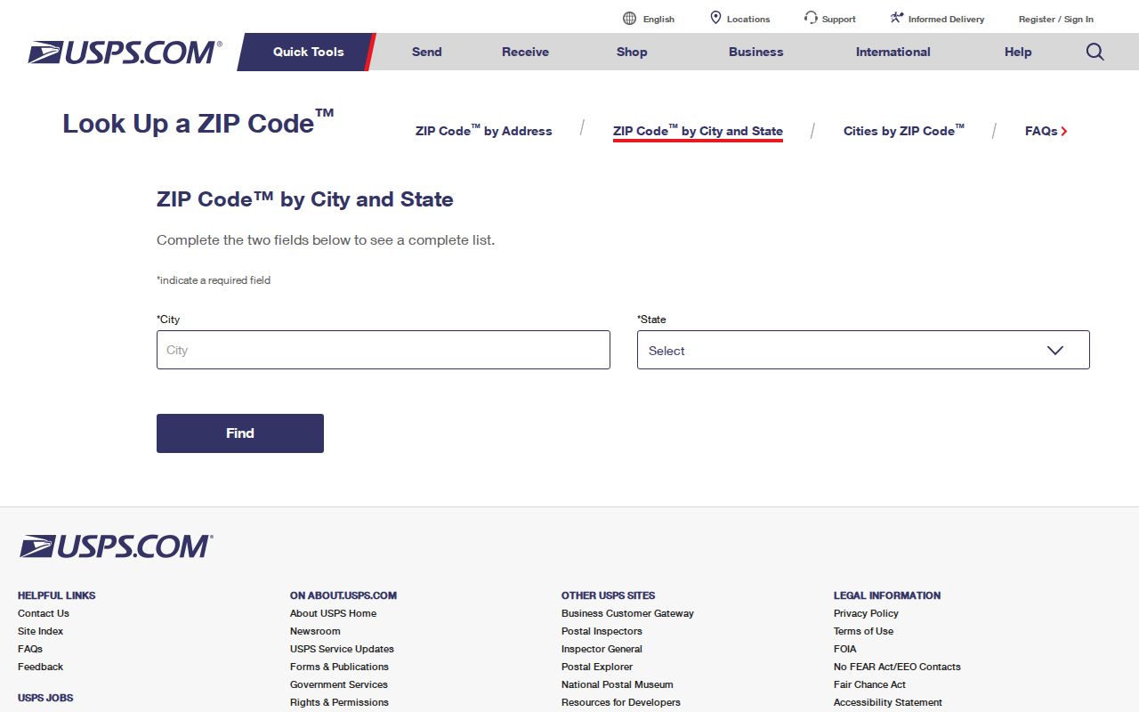
The USPS view keeps postal evidence separate from county parcel evidence, which prevents a broad Lancaster delivery area from being mistaken for a citywide resident list.
Lancaster ZIP Code Directory Limits
A Lancaster ZIP code directory is useful for sorting an address queue, but it cannot create a ZIP-wide roster. Census ZCTAs are statistical approximations of delivery areas, while USPS routes are operational delivery boundaries. A ZCTA can help compare demographic data, yet it is not a USPS route and cannot certify that an address receives mail under a given city label.
ZIP 93536 shows why the distinction matters. Its west Antelope Valley reach is much wider than the incorporated city footprint. ZIP 93539 shows the opposite problem: a postal code for boxes has no ordinary street polygon from which to infer nearby households. The result is a layered check: postal address first, county parcel second, and the actual record custodian third.
Practical check. Save the USPS result for the exact address, then compare the parcel with the county map before using Lancaster as a jurisdiction label.
Search Lancaster Residents by ZIP Code
Finding a Lancaster resident by ZIP code is a narrowing exercise, not a single portal search. The Los Angeles County Assessor Portal accepts an address or ten-digit AIN and offers a map view, but the public search does not offer an owner-name or ZIP-wide resident filter. The county voter page is even narrower. It checks the requester’s own registration when four matching identity and address fields are supplied. Neither system displays every household in a ZIP.
- Enter Lancaster and California in USPS City and State lookup, then record the current result rather than relying on a third-party ZIP list.
- Test the exact street address in USPS Address lookup and preserve the preferred city, ZIP, and any standardized formatting returned.
- Enter that address in the Los Angeles County Assessor Portal, choose the suggested match, and record the AIN, situs, legal description, and map position.
- Compare the parcel with the Los Angeles County maps and geography gateway when incorporated Lancaster and county territory may diverge.
- Use voter verification only for a known person’s matching information. For a qualifying political, scholarly, journalistic, governmental, or election purpose, ask the elections office about a contracted file instead of browsing a ZIP.
Once a ZIP is narrowed to a verified street and address, the address-keyed record chain belongs in the Lancaster street directory workflow. That next step still does not turn parcel ownership into proof of occupancy.
Lancaster Assessor Search Is Address-Keyed
The Assessor Portal is the closest official local address search, yet it is not a ZIP-wide owner search. Its public path is built around a parcel key or standardized street address. Map Search can show adjoining polygons, while Legal Search uses land-description information. The resulting parcel detail may include situs, AIN, legal description, use type, year built, square footage, assessed land and improvement values, tax-rate area, map links, and an effective date. Web display of owner or mailing details can be limited.
| Portal control | Input | What it can establish |
|---|---|---|
| Search by AIN or Address | Ten-digit AIN or standardized street address | Locate a parcel and open its public detail |
| Basic Search | Direct address or AIN route | Fast parcel match |
| Legal Search | Legal-description route | Continuity when street wording has changed |
| Map Search | Pan, zoom, and parcel selection | Spatial context and adjacent polygons |
When a field is not exposed online, the Assessor office’s published locations and service channels are the appropriate in-person or phone route. A written request should name the AIN, roll year, and precise fields sought. The Los Angeles County Treasurer and Tax Collector is a separate source for tax bills, payments, or delinquency information keyed to an AIN; it does not replace the Assessor’s property characteristics. Historic library or archive material can add context, but it cannot substitute for the current assessment roll.
Lancaster Voter ZIP Checks Need Identity
The Los Angeles County voter-status tool is a self-verification service. It requires Last Name, full Birthdate, House Number, and five-digit Zip Code. It does not accept a first name, street name, or browse request. A match confirms a registration result tied to the submitted data; it does not reveal ballot choices, a list of people at an address, or present physical occupancy. List maintenance can also mark records active, inactive, or cancelled after moves, returned mail, death, or other election processes.
For help with the form, the county lists (800) 815-2666, option 2. The elections office also sells contracted products through Election Information in Norwalk. A countywide file is listed at $146, precinct, district, or city information at $54, and an additional file at $39. The Street Index is listed at $0.50 per thousand names for candidates or committees, or $0.10 per page plus $1.60 handling for the general public, with political-purpose limits. Voted Index and Vote-by-Mail reports are also priced per page and subject to their own restrictions.
The Los Angeles County election file and fee page states the contract, permissible-purpose declaration, payment, and delivery route. Requests can be submitted by mail or in person to Election Information, 2nd Floor Room 2013, 12400 Imperial Highway, Norwalk, or by phone at (800) 815-2666, option 4. Those channels are for authorized products, not a casual Lancaster ZIP search.
The election fee and product page provides a useful record of why a postal code cannot promise a voter list.
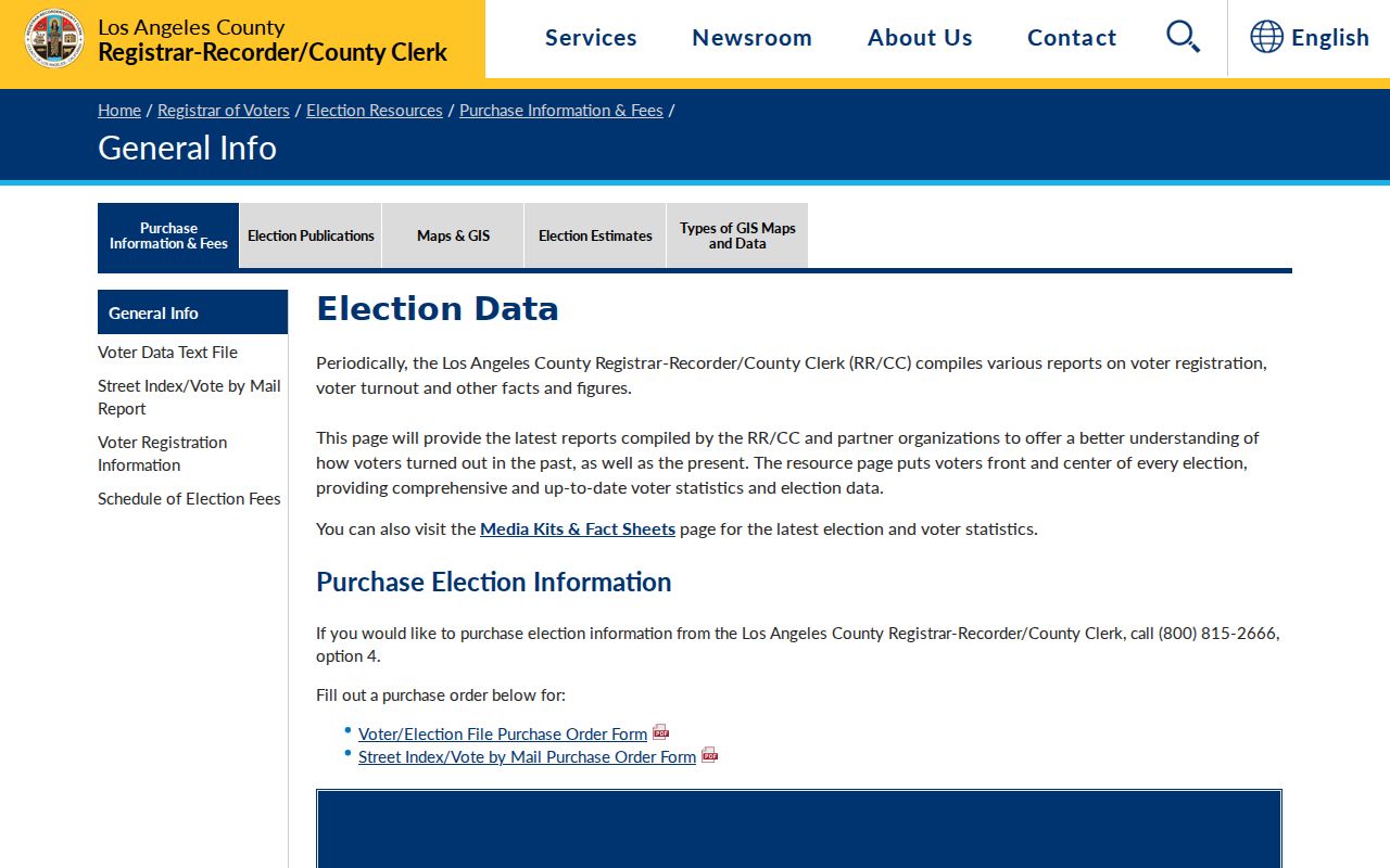
The fee notice reinforces the difference between a self-check, a contracted election file, and an unsupported public browse.
ZIP Code Terms for Lancaster Records
Several short terms keep a Lancaster ZIP code directory from overclaiming what postal data means. These definitions also explain why USPS, the county Assessor, the Census Bureau, and the elections office cannot be treated as interchangeable sources.
- ZIP versus ZIP+4
- A five-digit ZIP routes mail to a broad delivery area. ZIP+4 adds a smaller delivery segment, but it remains postal routing data rather than proof of a parcel owner or household.
- PO-box ZIP
- A ZIP assigned to postal boxes rather than ordinary street delivery. Lancaster 93539 should not be drawn as a block of homes.
- ZCTA
- A Census approximation used for statistics. It can resemble a ZIP code while differing from live USPS delivery routes and municipal boundaries.
- Carrier route
- A postal delivery path within the larger ZIP. It is operational mail geography, not a public directory of the people along that path.
- AIN and situs
- AIN is the county parcel key. Situs is the physical parcel address. A mailing address may point elsewhere, so neither field alone proves who lives there.
Lancaster ZIP Registry Limits
A separate official California registry can appear in a location-focused search, but it answers a different question. The California Megan’s Law Website offers name, map, and address modes with statutory warnings about use. It is not a resident roll, a parcel index, or a way to infer all people connected to a ZIP code. A result should be read only within the registry’s own disclosure rules and never expanded into a neighborhood claim.
This distinction matters in Lancaster because a broad postal area may include city parcels, county pockets, and rural delivery territory. A registry address, an Assessor situs, and a USPS delivery label are separate data points. They should not be combined to create a ZIP-based profile of unrelated people.
The official registry warning and search modes are visible at the source linked above.
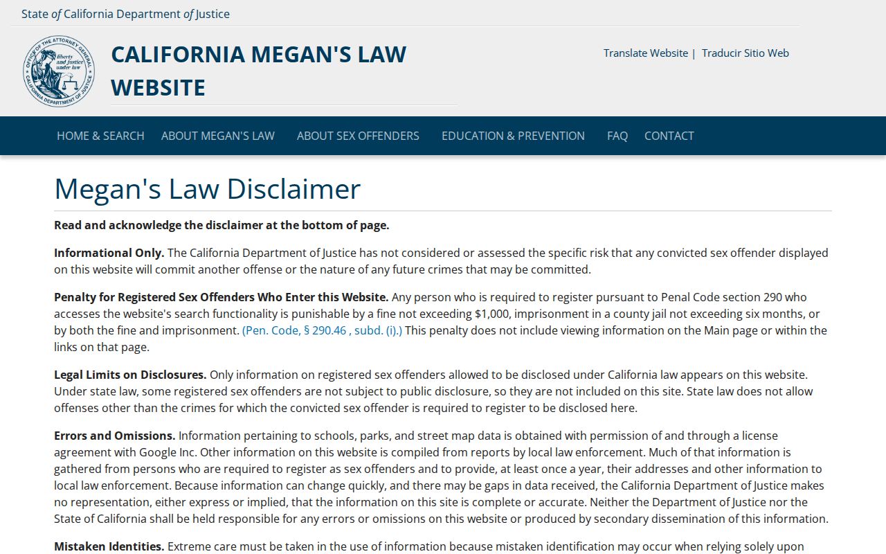
The registry image is a reminder that an official address search still has a defined purpose and cannot stand in for postal geography.
Lancaster ZIP Codes Cross Local Boundaries
Lancaster was a railroad settlement promoted in 1884 and incorporated as a city in 1977. Growth, annexation, and county pockets help explain why a postal city label can reach beyond the incorporated line. ZIP 93536 is the clearest local example because its west Antelope Valley delivery area is broad. ZIP 93534 and 93535 can also contain delivery descriptions that do not match a reader’s neighborhood or planning label.
The correct jurisdiction depends on the record. City permits, planning, and code files belong with Lancaster when the parcel is inside city limits. An unincorporated parcel routes to the relevant Los Angeles County department. A ZIP code cannot answer that question. Use a current USPS result for delivery, the county map for geography, and the responsible city or county custodian for the record itself.
Boundary rule. A Lancaster postal line can be a useful lead, but it is not permission to label a person, parcel, or record as city-based without address-level verification.
Verify a Lancaster Address Before Searching
The strongest Lancaster ZIP code directory workflow ends with a precise address record, not a ZIP-only conclusion. Save the USPS city/state result, preserve the exact street formatting, and check whether the Assessor Portal returns one parcel or several possible matches. Record the AIN and effective date. If the public parcel page hides a field, ask the Assessor office for that defined field rather than treating a blank as proof that no owner or value exists.
Keep each office’s access rule in view. The voter page needs four matching private inputs and is meant for self-verification. Election files require a contract and qualifying purpose. The Megan’s Law registry has its own statutory warning. A ZIP-wide resident directory is not published by the Assessor, USPS, or elections office, and a California Public Records Act request cannot force an agency to create one. A narrow request can seek an existing record from the department that keeps it.
ZIP geography is a sound first sort for family history, address correction, civic research, and personal safety awareness. It becomes reliable only after the exact address, parcel, date, and custodian are checked together. Keep that chain intact whenever a Lancaster record is saved or shared.